![]() A Q&A with CartoDB VP of Marketing Álvaro Ortiz. The New York City-based startup, which offers an open source spatial mapping application, announced earlier this month the closing of an $8 million Series A funding round. Investors include Earlybird Venture Capital and Kibo Ventures. It was founded in 2012 by Sergio Álvarez-Leiva and Javier de la Torre.
A Q&A with CartoDB VP of Marketing Álvaro Ortiz. The New York City-based startup, which offers an open source spatial mapping application, announced earlier this month the closing of an $8 million Series A funding round. Investors include Earlybird Venture Capital and Kibo Ventures. It was founded in 2012 by Sergio Álvarez-Leiva and Javier de la Torre.
SUB: Please describe CartoDB and your primary innovation.
Ortiz: CartoDB is an open source mapping tool and platform. The CartoDB Editor gives anyone—even someone without cartography training or specialized cartography knowledge—the power to create maps with data.
The CartoDB Platform is the most advanced and modern computing platform to develop geospatial applications. Thousands of users all over the world are creating interactive maps with our software, and hundreds of developers are using CartoDB to develop geospatial applications. Organizations like Deloitte, the United Nations, Twitter and the National Park Service are using CartoDB to fulfill their cloud geospatial needs.
Before the creation and widespread use of Microsoft Excel and other spreadsheet applications, only experts had the ability to garner insights from massive amounts of data. With CartoDB, anyone can create advanced and beautiful data-based maps in mere clicks, propelling a thorough understanding of data as well as its more sophisticated analysis. As we like to say, everything happens somewhere, and there are lots of insights hidden away in your data. CartoDB helps you uncover these.
SUB: Who are your target markets and users?
Ortiz: Every industry needs to map its data; this axiom is emphasized each day as we hear from new users about their use of our software. For traditional GIS users, we provide a modern cloud-based platform which considerably improves their workflow, permitting them to perform operations that they couldn’t previously complete, or which took them a huge amount of time without CartoDB.
For people who haven’t previously had exposure to interactive map-making, we demonstrate how they can translate their data into maps with our tutorials and technical support. It’s extremely gratifying to successfully explain to someone how she can make something she never thought she could.

SUB: Who do you consider to be your competition, and what differentiates CartoDB from the competition?
Ortiz: From a certain perspective we compete with several large GIS providers like Esri, but our offering was born directly on the web. This is why we talk about CartoDB being a modern platform—we provide tools that play nicely on the cloud, allowing collaboration and enabling the rapid and agile development of geospatial projects.
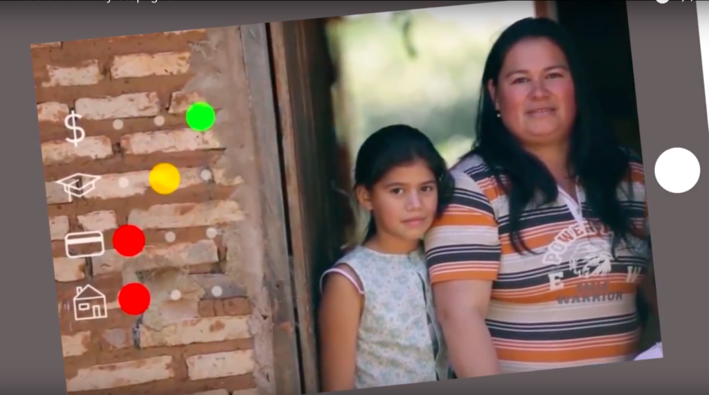
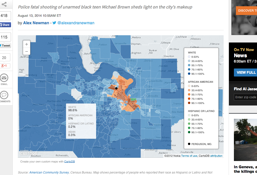
With CartoDB, you don’t have to worry about costly investments—in terms of money and technical resources—to get up-and-running. You get things done fast, with fun, and beautifully. You can take a look at our gallery to check out what people are creating with CartoDB. Our cloud environment lets you scale without any pain and work with massive amounts of data—two features that other products lack or have limits on.
One of the driving principles of our company is composition: We have the best-designed product on the market, and take pride in focusing on and providing users with smooth experiences, letting them achieve their tasks with speed and success. We make difficult tasks easy.
SUB: You just announced that you’ve raised $8 million in Series A funding. Why was this a particularly good time to raise more funding?
Ortiz: We’ve been growing organically at CartoDB for the last three years. More than 500 customers and more than 50,000 users find the editor and platform useful in their daily work, proving that our approach makes sense. We decided to raise these funds to accelerate the CartoDB ecosystem, as we would like many more people to use CartoDB tools and solutions to build their geospatial products and map their data.
SUB: How do you plan to use the funds?
Ortiz: The funds will be used to further develop our products, from the CartoDB Editor and CartoDB Platform, which will enable people to better communicate their data with different tools, to our developer program, which will enable a new generation of developers to create geospatial solutions that will fulfill many different needs.
SUB: What was the inspiration behind the idea for CartoDB? Was there an ‘aha’ moment, or was the idea more gradual in developing?
Ortiz: The origins of CartoDB can be traced to Vizzuality, a data visualization consulting firm. We were initially involved as a consultant on biodiversity projects, and as there weren’t any products that met our needs at that time, we started developing our own solution based on open source software.
Even after completing several projects, no market-based solutions were available for others to use, so we decided to make our solution a product that everyone could use. Two years ago we decided to focus entirely on CartoDB, and have grown a lot since then in terms of users, customers, and product offerings.

SUB: How did you come up with the name? What is the story or meaning behind it?
Ortiz: ‘Carto’ stands for ‘cartography,’ and ‘DB’ for ‘database.’ When it comes to our logo, CartoDB is using a PostgreSQL database as the backend for our data, and as PostgreSQL’s logo is an elephant, ours is an elephant in a cloud.
SUB: What have the most significant challenges been so far to building the company?
Ortiz: Technically speaking, our product is very complex: We are enabling users to map millions of data points in real-time, we’re making the platform accessible in terms of user experience, and all the while offering our products to a global audience. Apart from these technical endeavors we face the challenges that any growing global company faces, but we won’t bother your audience with them.
SUB: How do you generate revenue or plan to generate revenue?
Ortiz: We provide an open source product, meaning anyone can download the source code and use it freely. On cartodb.com we provide a hosted version, so anyone can use CartoDB without worrying about the infrastructure, installation, maintenance, or scaling. We provide a service that lets anyone start using the product right away and completely forget about the infrastructure. Whether CartoDB is used for internal collaboration or to create a map that receives millions of map views, we take care of it all.
SUB: What are your goals for CartoDB over the next year or so?
Ortiz: We have many plans regarding all aspects of our business. Our CartoDB Editor will see expanded features, storytelling being one of them. We have anticipated this with our Odyssey.js library. Our CartoDB Platform will see new and improved services, making it even easier to build applications. We are just starting our CartoDB Developer Program, which will create an ecosystem of geospatial developers creating specialized products that better serve customer needs.
But ultimately, we’ll see many more people creating maps, sharing data and insights, and making better decisions thanks to being able to process, analyze, and understand their data easily and rapidly.